 `
`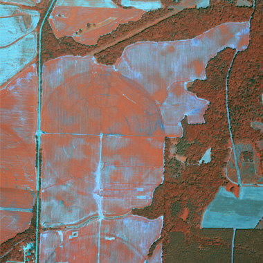
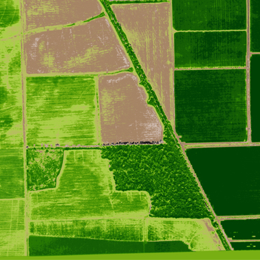
CAS has the capability to capture multispectral imagery. … More
Our Imagery
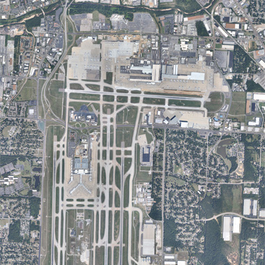
Vertical Imagery
CAS can provide site specific timely acquisitions to cover your various needs. With FAA certified and approved aircraft we can collet nadir/ true vertical imagery over your site … More
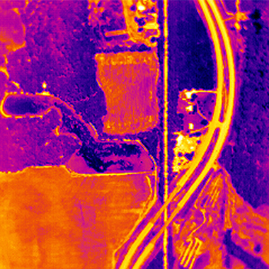
Thermal Imagery
If you have a need for true thermal imagery, CAS has you covered. Using FLIR thermal sensors, we can provide you with temperature sensitive data over your site. … More
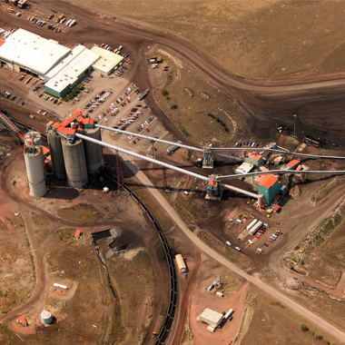
Oblique Imagery
With a vast assortment of equipment at our fingertips, CAS can provide that perfect picture to compliment your site. … More
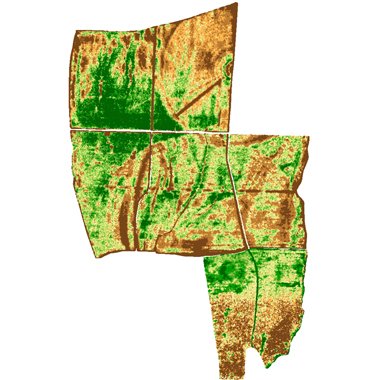
NDVI Processing
After collecting the imagery, CAS can include normalized difference vegetation index processing in our work-flow. … More
Scout Map Creation
CAS can provide you with multi-zone scout reports and application prescriptions based off acquired imagery. … More